


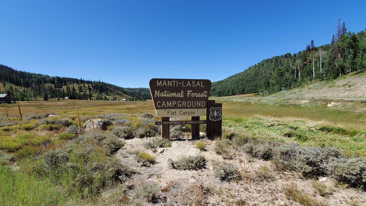
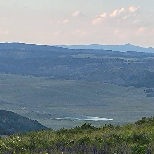
Candland Mountain Trailhead
Address: Mt Pleasant, Utah
Cost: Free
About
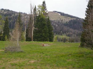
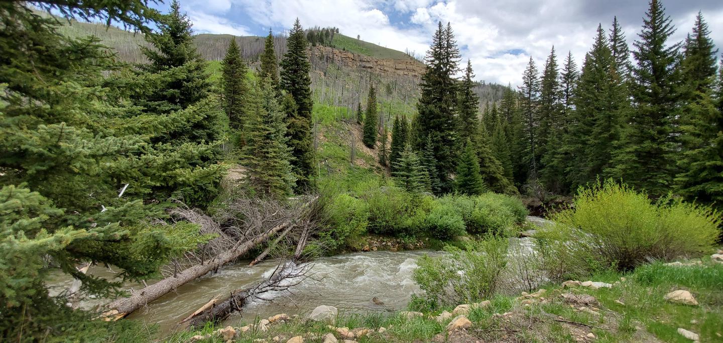
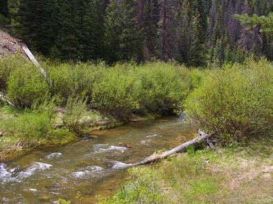
The Candland Mountain Trail #5398 is 5.6 miles long. It begins at Highway 31 and ends high on Candland Mountain. It climbs 1,319 feet from 8,930 feet in elevation to 10,249 feet. This trail intersects with Mill Canyon Trail #5063 which provides access back to UT-31 and Huntington Canyon. This trail passes primarily through open high elevation meadows and some spruce-fir vegetation.
Difficulty Level: More Difficult
Elevation Change:
North West End (Highway 31): 8,930 feet
South East End (Candland Mtn): 10,249 feet
Click here for graph of Elevation Change [http://www.fs.usda.gov/Internet/FSE_DOCUMENTS/stelprdb5412691.jpg]
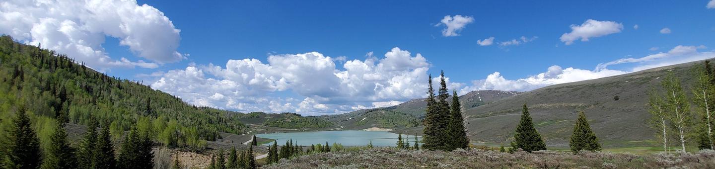
Places nearby:
The pursuit is happiness.
Sekr connects travelers to the campsites, community and journey they are seeking.
The pursuit is happiness.
Sekr connects travelers to the campsites, community and journey they are seeking.


