


Bighorn #2013
Address: Vail, Colorado
Cost: Free
About
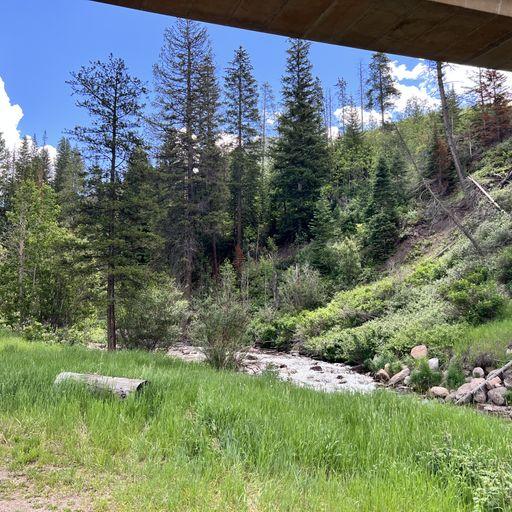
The 3.25 mile Bighorn Trail begins at Bighorn Road and ends at an old shack at 10,778 feet. The first 1/2 mile of the trail climbs steeply out of the Vail Valley, then more gradually climbs up through stands of aspen and pine. The trail passes beaver ponds and the remains of old mining camps as well as Bighorn Falls. Near mile 2, the views of Vail and Bighorn drainage are exceptional.
View a printable Recreation Quicksheet for this trail [../../../../../../../../../../Internet/FSE_DOCUMENTS/stelprdb5186321.pdf] which is complete with directions, a map, details, and other information about this trail.
Visit our Recreation Quicksheets [http://www.fs.usda.gov/detail/whiteriver/?cid=stelprdb5183391] page to view more printable trail descriptions by ranger district.
Places nearby:
The pursuit is happiness.
Sekr connects travelers to the campsites, community and journey they are seeking.
The pursuit is happiness.
Sekr connects travelers to the campsites, community and journey they are seeking.


