Missouri Lakes #2033
Address: Leadville, Colorado
Cost: Free
About
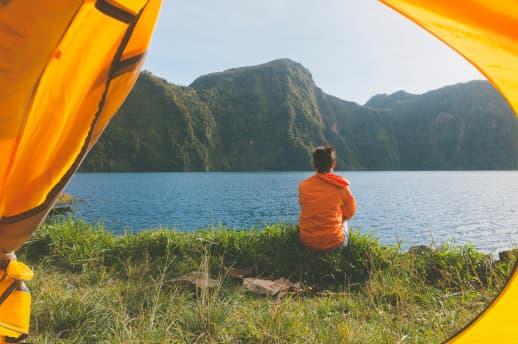
The Missouri Lakes trail is 4.4 miles long. It begins at Missouri Creek Road #704 and ends at Cross Creek Trail and Fancy Pass Trail #2006: The first mile of the trail passes diversion dams and water pipelines. Just past mile 1, the trail crosses the creek at the mouth of a miniature canyon, creating a breath taking view. The trail winds through stands of conifers and crosses the creek several more times before emerging into a large lush meadow. The trail climbs a short, steep distance to the basin that holds the Missouri Lakes. At about 2.7 miles you will see a side trail left that leads to the first of the lakes, a short climb of 100 feet gain in 0.3 miles. Savage Peak dominates the view to the south above this first lake. The main trail traverses the basin past several other lakes before reaching the last lake at about 3.5 miles. To get a bird’s eye view of the lakes, continue up switchbacks to the 11,986-foot Missouri Pass and back down the other side to join the Fancy Pass and Cross Creek trails at 4.4 miles.
* There is a printable Recreation Quicksheet for this trail [../../../../../../../../../../Internet/FSE_DOCUMENTS/stelprdb5186375.pdf] which is complete with directions, a map, details, and other information about this trail. Or to see quicksheets for other recreation areas across the Forest, click on the "Recreation Quicksheets" link in the right column and select the appropriate Ranger District.
