


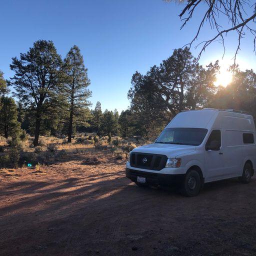
Tusayan Ranger District
Cost: Free
About
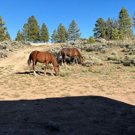
The Tusayan Ranger District is on the northern portion of the Coconino Plateau. It is bordered on the north by Grand Canyon National Park, on the east by the Navajo Indian Reservation, on the south by private and State lands, and on the west by the Havasupai Indian Reservation.
The total area of the Tusayan Ranger District is about 360,000 acres. It lies completely within the watershed of the Colorado River. Elevations range from 5,700 feet in the northeast portion of the Upper Basin to 7,500 feet at Lockett Lake.
The topography of the district is, for the most part, gentle. The exceptions are several steep, intermittent drainages, the Coconino Rim and Red Butte. Along the Coconino Rim, slopes drop abruptly into the Upper Basin. Red Butte reaches an elevation of 7,324 feet.
Places nearby:
The pursuit is happiness.
Sekr connects travelers to the campsites, community and journey they are seeking.
The pursuit is happiness.
Sekr connects travelers to the campsites, community and journey they are seeking.


