


Sawmill Point Boat Launch
Cost: Free
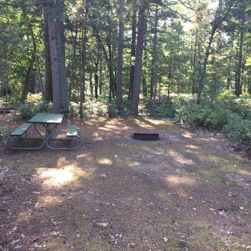
About
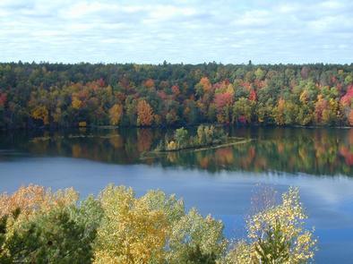
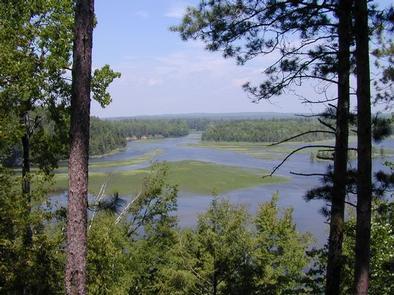
Au Sable River [https://c2.staticflickr.com/8/7331/28130707145_dfe13b8e10_n.jpg] [https://www.flickr.com/photos/usfs-hmnf/albums/72157667880663884]This site is adjacent to primitive campsites on Cook Pond. The boat ramp is gravel. This is a small site that gets full quickly on summer weekends. Other Cooke Pond launches are located at Pine Acres and at Cooke Dam.
Brochure with map:
* River Road National Scenic Byway (pdf [http://go.usa.gov/x9h8j]) - this brochure shows River Road, the Au Sable River and Lumberman's Monument
* Highbanks River Trail Map (coming soon)
* Eagle Run Trail Map (coming soon)
The brochure is set to print on 11 x 17 paper, landscape (wide) orientation. To print on 8 1/2 x 11 paper set the print area to "shrink to printable area", this will make the text on the page smaller. The trail maps are set to printon 8.5x11 paper.
Flickr Photo Albums:
* Au Sable River - Alcona Dam to Lake Huron [http://www.flickr.com/photos/usfs-hmnf/albums/72157667880663884]
* Visitor Center and Grounds [http://www.flickr.com/photos/usfs-hmnf/albums/72157661512533399]
* Programs [http://www.flickr.com/photos/usfs-hmnf/albums/72157662307594671]
* River Road National Scenic Byway [http://www.flickr.com/photos/usfs-hmnf/albums/72157661473995519]
* Iargo Springs [http://www.flickr.com/photos/usfs-hmnf/albums/72157669379122650]
* Highbanks River Trail [https://www.flickr.com/photos/usfs-hmnf/albums/72157661466674049]
* Eagle Run Trail [http://www.flickr.com/photos/usfs-hmnf/albums/72157670036127542]
Places nearby:
The pursuit is happiness.
Sekr connects travelers to the campsites, community and journey they are seeking.
The pursuit is happiness.
Sekr connects travelers to the campsites, community and journey they are seeking.


