


Government Landing
Address: Harrietta, Michigan
Cost: Free
About
Manistee National Recreation River [https://farm2.staticflickr.com/1445/25375562445_1e0dc3a721.jpg] [https://www.flickr.com/photos/usfs-hmnf/albums/72157664674562850]
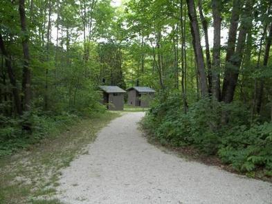
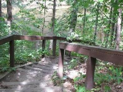
This camping area is named for Government Island. The 3 campsites are part of the Forest Services' 41 designated dispersed sites along the Upper Manistee River. The main access road along the powerline is a snowmobile trail in the winter.
Brochure with map:
* Manistee River [https://go.usa.gov/x9h9c]
This brochure is set to print on 11 x 17 paper, landscape (wide) orientation. To print on 8 1/2 x 11 paper set the print area to "shrink to printable area", this will make the text on the page smaller.
Flickr Photo Albums
* Manistee River [https://www.flickr.com/photos/usfs-hmnf/albums/72157664674562850]
Places nearby:
The pursuit is happiness.
Sekr connects travelers to the campsites, community and journey they are seeking.
The pursuit is happiness.
Sekr connects travelers to the campsites, community and journey they are seeking.


