


Peterson Bridge North Day Use and Boat Launch Area
Cost: Free
About
Pine National Scenic River [https://farm1.staticflickr.com/749/23245515439_f9752b3d7b_z.jpg] [https://www.flickr.com/photos/usfs-hmnf/albums/72157659843405453]
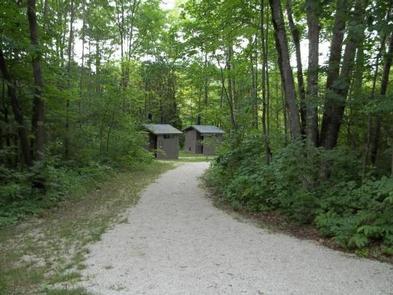
Peterson Bridge is the last take-out before Low Bridge. This large landing area sits just before a sharp bend in the river that will take paddlers underneath the M-37 Bridge. A pond area at the site is home to many species of wildflowers and turtles. The picnic shelter was built in the early 1930's by Civilian Conservation Corps. This site was reconstructed in 2010 and has had many updates and improvements.
Brochure and Map [https://go.usa.gov/x9h9C]: This brochure is set to print on 11 x 17 paper, landscape (wide) orientation. To print on 8 1/2 x 11 paper set the print area to "shrink to printable area", this will make the text on the page smaller.
Flickr Photo Album [http://www.flickr.com/photos/usfs-hmnf/albums/72157659843405453]
Places nearby:
The pursuit is happiness.
Sekr connects travelers to the campsites, community and journey they are seeking.
The pursuit is happiness.
Sekr connects travelers to the campsites, community and journey they are seeking.


