


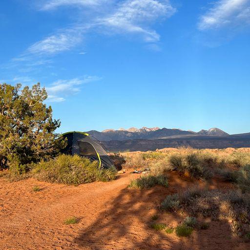
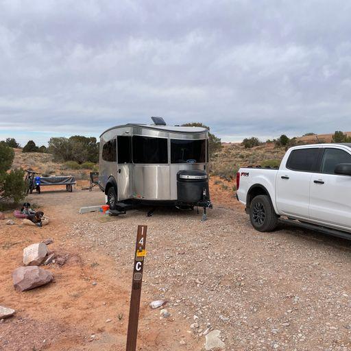
Porcupine Rim Trailhead
Cost: Free
About
Porcupine Rim is one of the iconic trails that made Moab a destination for mountain bikers. Porcupine Rim is really made up of three separate trails: LPS (Lower Porcupine Singletrack), the Porcupine Rim Trail, and the Porcupine Singletrack Trail, which ends near Negro Bill Canyon on Highway 128. These three trails make up the last 13.3 miles of the Whole Enchilada Trail, an epic 26.2 mile and 7,000 vertical foot downhill trail starting in the La Sal Mountains (Manti LaSal National Forest) and ending at the Colorado River. This ride is only for strong, advanced riders. Even with advanced skill, riders will still have to walk expert sections of trail. The lower sections of the trail can be by-passed by riding out the Sand Flats Road and ending in Moab. There are maps and signs at every junction in the system. Riders should bring their own maps for navigation. Maps are available as printouts off of this site or for purchase on waterproof paper at all local bike shops.
Places nearby:
The pursuit is happiness.
Sekr connects travelers to the campsites, community and journey they are seeking.
The pursuit is happiness.
Sekr connects travelers to the campsites, community and journey they are seeking.


