


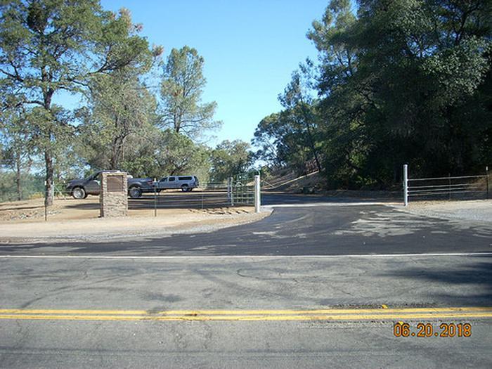
Magnolia Ranch Trailhead
Address: Pilot Hill, California
Cost: Free
About
PITCH-IN! PLEASE DO YOUR PART TO KEEP OUR PUBLIC LANDS CLEAN AND SAFE. PACK-IT-IN AND PACK-IT-OUT.
RECREATE RESPONSIBLY [https://www.recreateresponsibly.org]
OVERVIEW
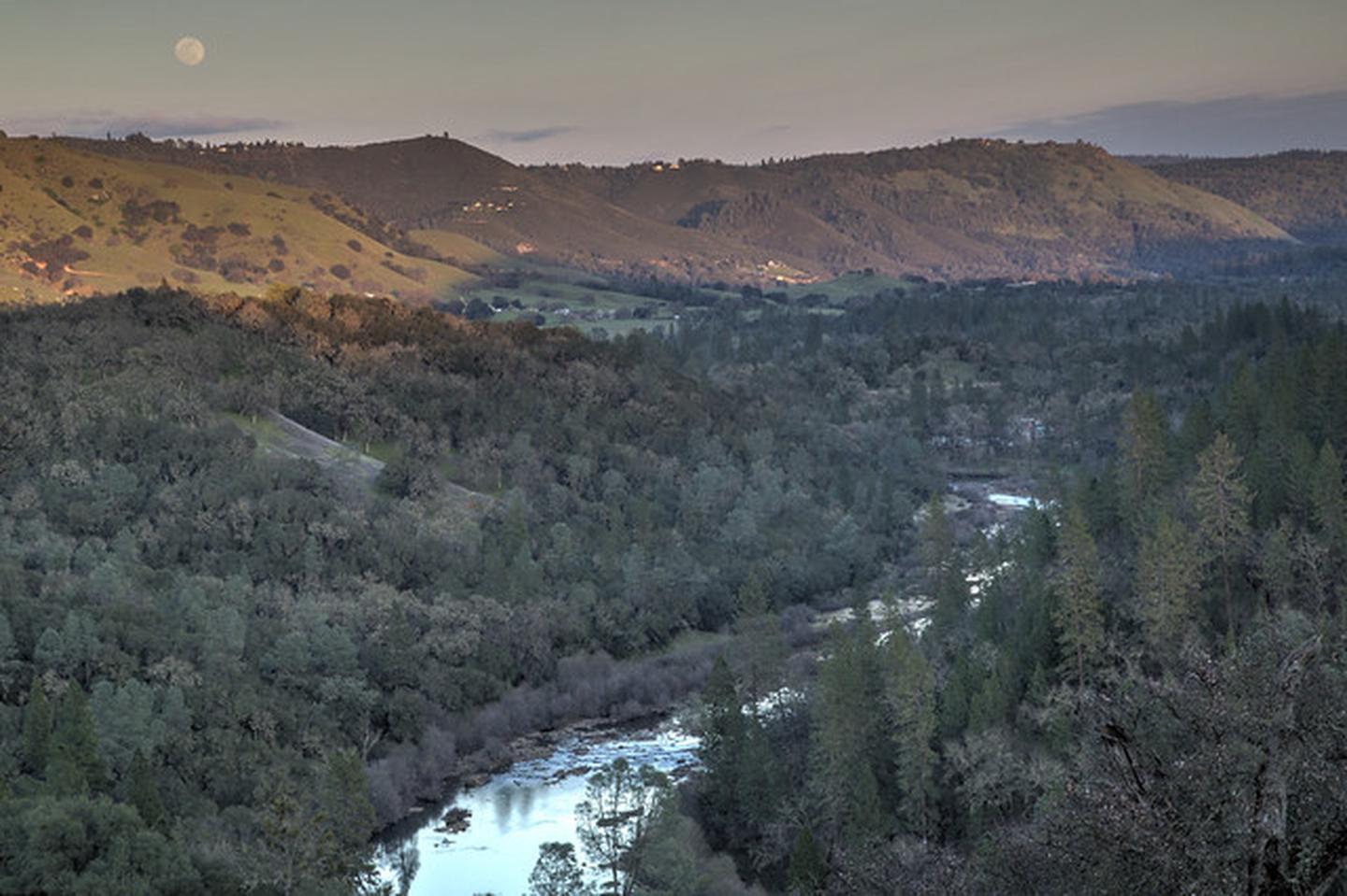
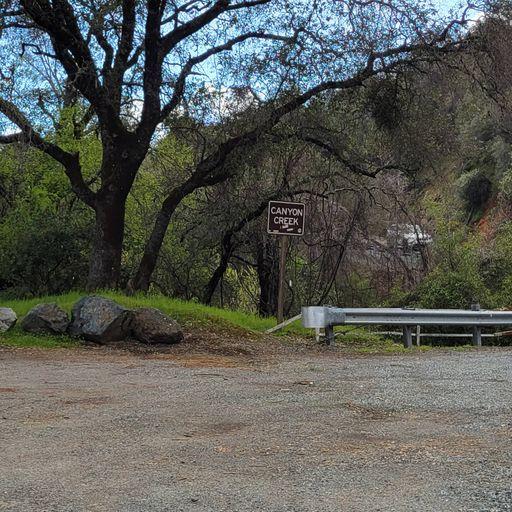
The BLM, Magnolia Ranch Trailhead is located approximately five (5) miles north of the town of Coloma along Highway 49 and the South Fork of the American River. It is situated between the Cronan Ranch Regional Trails Park and Greenwood Creek River Access on public lands.
The Magnolia Ranch Trailhead takes you along the 2.5 mile Gerle Loop Trail which is an easy to moderate, mostly flat trail across rolling hills and oak woodlands with scenic views and access to the American River. The Gerle Loop trail ties into a more extensive trail system west of Hastings Creek and leads you into the Cronan Ranch Regional Trails Park.
WHAT YOU NEED TO KNOW:
* Magnolia Ranch is a Day-Use area only. No overnight camping.
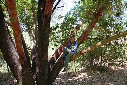
* Only non-motorized recreational activities such as hiking, mountain biking, horseback riding and other similar passive activities are allowed.
* Portions of this trail system border private property. Please respect the rights of private property owners by staying on designated routes at all times.
* Please be aware that there are mountain lions and rattlesnakes in the area.
* Fireworks are prohibited.
* Fuelwood cutting and collection is prohibited.
* A Special Recreation Use Permit is required for all commercial, organized groups, or competitive activities.
Pack it in - pack it out... and pack a little extra if you can. Help us keep this area clean.
HUNTING AND SHOOTING INFO - MAGNOLIA RANCH:
No target shooting allowed No hunting for bear, squirrels, rabbits, jackrabbits, waterfowl, furbearers, or non game species
NOTE: All California game species are regulated by the California Department of Fish and Wildlife (CDFW).
Rules, regulations, and seasons are controlled by CDFW, and it is the hunter’s responsibility to verify and comply with proper species, seasons, zones, regulations, and legal location if hunting on public lands.
FGC 3004 – It is unlawful for any person to hunt or discharge while hunting, any firearm or other deadly weapon within 150 yards of any occupied dwelling house, residence, or other building or any barn or other outbuilding used in connection therewith. The 150 yard area is a "Safety Zone."
Helpful Links:
Where to Shoot [https://www.wheretoshoot.org/]
California Department of Fish & Wildlife [https://www.wildlife.ca.gov/Hunting]
Hunting, Fishing and Recreational Shooting on Public Lands, BLM California [https://www.blm.gov/programs/recreation/recreation-programs/recreational-shooting/california]
Also VISIT: South Fork American River webpage [https://www.blm.gov/visit/south-fork-american-river]
Other BLM Trailheads:
Cronan Ranch Trailhead [https://www.blm.gov/visit/cronan-ranch-trailhead]
Greenwood Creek River Access [https://www.blm.gov/visit/greenwood-creek-river-access]
Return To: BLM, Mother Lode Field Office [https://www.blm.gov/office/mother-lode-field-office]
Places nearby:
The pursuit is happiness.
Sekr connects travelers to the campsites, community and journey they are seeking.
The pursuit is happiness.
Sekr connects travelers to the campsites, community and journey they are seeking.


