


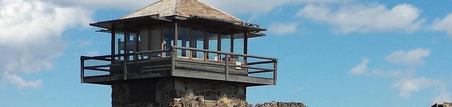
Powder River Interpretive Site
Cost: Free
About
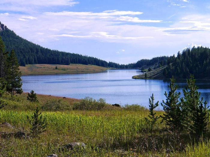
Powder River Interpretive Site sits along the Cloud Peak Skyway. Stop and read the interpretive signs and view the beautiful scenery.
Powder River Pass
This is Powder River Pass, 9,666 feet above sea level, is the highest point on Highway 16 in the Bighorn National Forest.
At this elevation the harsh weather conditions and shallow soil discourages the growth of trees. Growing on the slopes of the pass are the fragile plants of the Alpine Tundra. These tiny plants survive by clinging to the thin rocky soil, which provides just enough water and nutrients.
The Bighorn Mountain Divide is the high-elevation backbone of the mountain range, which has its southern end in Wyoming and its northern end in Montana. The Bighorn Mountains serve as a major watershed, providing water to ranchers, farmers, and communities in the valleys and basins to the east and west.
Along the highway you will see long segments of tall wooden fences, standing at an angle to the roadway. These are snow fences, erected and maintained by the Wyoming State Highway Department. Their purpose is to divert blowing and drifting snow away from the road. In the winter, drifts as high as 10 feet line the side of the highway.
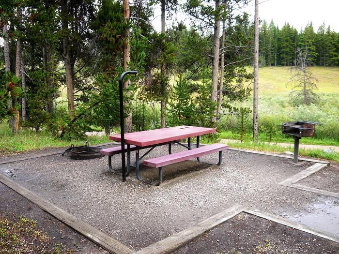
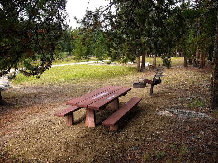
Places nearby:
The pursuit is happiness.
Sekr connects travelers to the campsites, community and journey they are seeking.
The pursuit is happiness.
Sekr connects travelers to the campsites, community and journey they are seeking.


