


Sycamore Canyon Wilderness
Cost: Free
About
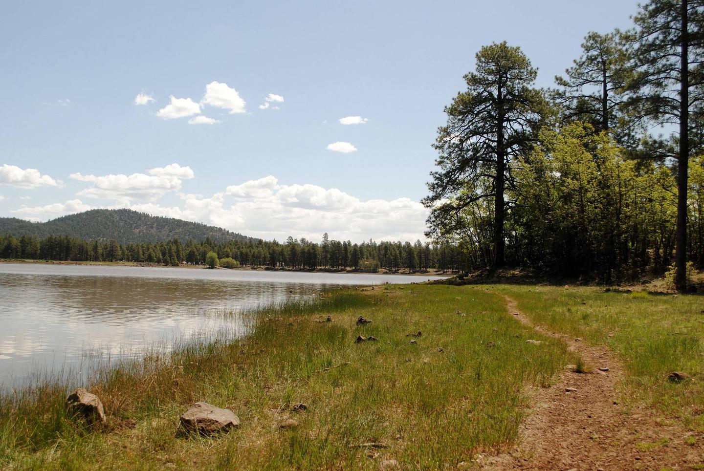
Established in 1935, this area contains a unique canyon-land environment. Sycamore Canyon cuts through the Mogollon Rim, then drops off the Colorado Plateau with an unmatched flourish of red rock buttes and sheer cliffs. It winds for 20 miles along Sycamore Creek and at places stretches 7 miles from rim to rim.
Wind and water have exposed 7 geological associations of plants and animals set in a spectacular setting of red sandstone, white limestone, and brown lava. This rugged desert canyon is so remote and so unique it was one of the first areas in Arizona to be officially designated and protected as wilderness by the U.S. Congress. The upper reaches of Sycamore Canyon lie at the southeastern edge of the Kaibab National Forest. A limited number of forest roads and trails provide access.
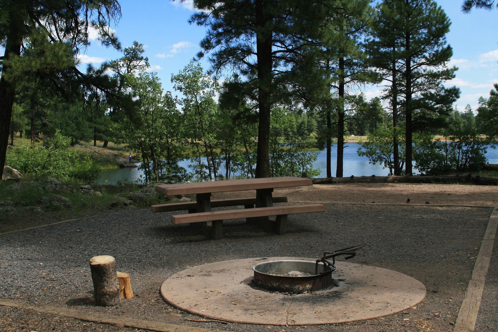
The Sycamore Trail skirts the canyon's upper reaches and provides a number of jumping off places for further exploration. Although mountain bikes and other vehicles are excluded from the wilderness, the Sycamore Canyon Scenic drive and bike route provides an excellent vantage for enjoying the scenery it holds. Additional routes into the area are available from the Coconino National Forest.
"Landscapes" Images Album [https://www.flickr.com/photos/kaibabnationalforest/sets/72157637678408436/]
Places nearby:
The pursuit is happiness.
Sekr connects travelers to the campsites, community and journey they are seeking.
The pursuit is happiness.
Sekr connects travelers to the campsites, community and journey they are seeking.


