


Silverado Canyon/Maple Springs
Cost: Free
About
Maple Springs Trailhead
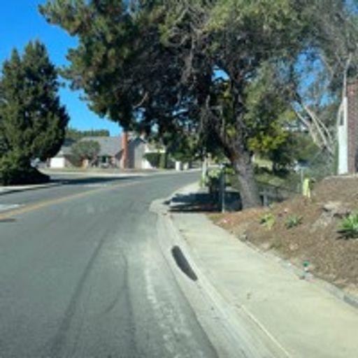
Trail Views [http://www.fs.usda.gov/Internet/FSE_MEDIA/fseprd517008.jpg]
Distance
10 miles
Pets Allowed
Yes
Fees
Adventure Pass Required [http://www.fs.usda.gov/detail/cleveland/passes-permits/recreation/?cid=fsbdev7_016469]
Hike/Ride Time
2 - 8 hours
Difficulty
Easy
Best Seasons
Year Round
Location
31330 Silverado Canyon Road, Silverado, California 92676
Ranger District
Trabuco Ranger District - (951) 736-1811
The Maple Springs trailhead provides a connection to other areas of the forest through the Santa Ana mountains. For those adventurous users, the trail, if taken long enough, can reach Santiago Peak [http://www.fs.usda.gov/recarea/cleveland/recreation/hiking/recarea/?recid=81640&actid=50] leading down to Holy Jim Falls [http://www.fs.usda.gov/recarea/cleveland/recarea/?recid=47628], adding significant distance, incline and difficulty. Though the creeks in the area are dry due to drought, recreational users will still find natural tranquility passing through oaks and sycamores, small meadows and chaparral along the way. This is a great trail for beginning hikers as the paved road is relatively flat and well manicured. This area is also used by off road vehicles, bikers, and equestrian, so please be considerate of others on the road.
Places nearby:
The pursuit is happiness.
Sekr connects travelers to the campsites, community and journey they are seeking.
The pursuit is happiness.
Sekr connects travelers to the campsites, community and journey they are seeking.


