


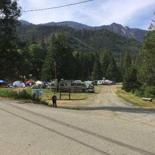
Belknap Grove
Address: Springville, California
Cost: Free
About
Handout: Belknap Complex [http://www.fs.usda.gov/Internet/FSE_DOCUMENTS/fsbdev3_058642.pdf] (PDF - 224k)
Belknap Campground [http://www.fs.usda.gov/Internet/FSE_DOCUMENTS/fsbdev3_058511.pdf] (PDF - 451k)
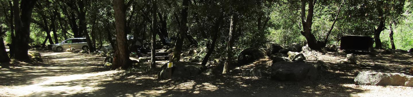
Belknap Grove [http://www.fs.usda.gov/Internet/FSE_MEDIA/fsbdev3_058090]Belknap is a complex formed from the large sprawling McIntyre Grove, Wheel Meadow Grove and the smaller, compact Carr Wilson, or Bear Creek Grove. Beautiful trails through old-growth sequoias meander along Bear Creek and the Tule River. This grove is fairly easy to get to by driving paved roads in your car. You can visit this grove year round, but there may be snow and ice on the roads in winter so bring your tire chains. The grove is about 4,666 acres. There are several trails through this grove, including Forest Trail 31E30 and 31E31. Forest Trail 31E30 goes through the heart of the grove along the river and can be started at Belknap or Quaking Aspen campgrounds. You can stop and fish the Tule River along this trail.
Nearby Campgrounds: Belknap (GPS NAD 83: 36.14167, -118.59972), Coy Flat (GPS NAD 83: 36.12917, -118.61806), Quaking Aspen (GPS NAD 83: 36.12083, -118.54722)
Season:April through NovemberDistance:1.5 miles to the junctionElevation:Trail head - 5,000 feet
Bear Ridge Junction - 6,000 feet
Gain - 1,000 feetDifficulty (hiking): Up, Difficult - 2 hours
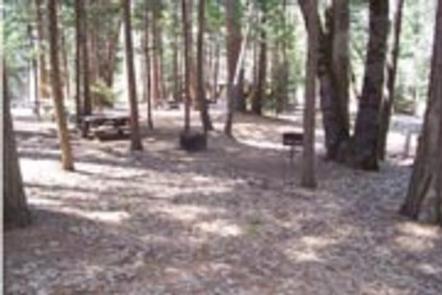
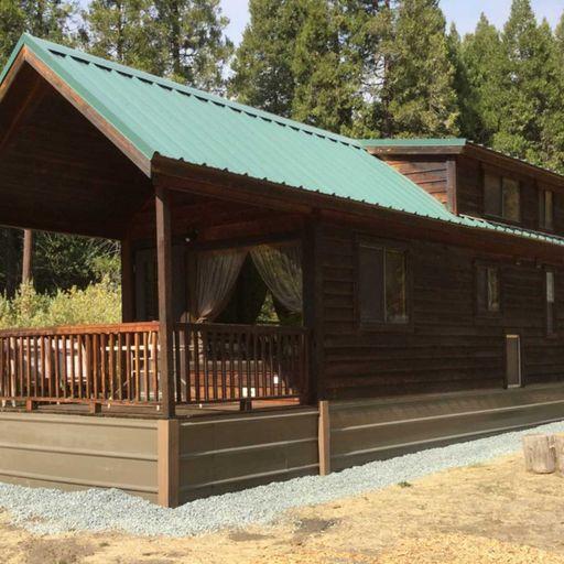
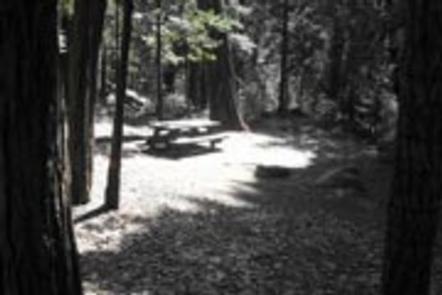
Down, Moderate - 3/4 hourFacilities:Campground, restrooms, water
Trail Description: The Belknap trail (31E23) trail starts in the McIntyre summer home tract from Belknap Campground. The trailhead is alongside the remains of an abandoned fence. It goes up several switchbacks at slopes in excess of 30% and passes one vista point with a view of Camp Nelson to the west.
After slightly less than a mile the trail and the terrain levels off. You are now in the lower half of the Belknap Camp Grove of sequoias. There are several recent (1983) giant windfalls here and the gentle slopes of the area make it a fine picnic spot. Two of the giants are almost at right angles to one another and a spring is located within their embrace, perhaps 150 feet from the corner intersection. Out of the bark of these fallen goliaths, which make wonderful scenic rest stops, sprout many young firs, pines and even sequoias.
Should you loose the trail, proceed up-slope to the top of the ridge (about 1/2 mile, but it will seem like 5 or 10) where you will meet the fairly well maintained COY FLAT - BEAR RIDGE TRAIL (31E31).
If you are still on the trail you will come to a "Y" where you can take the left trail on up to the upper half of the Sequoia grove, where you will pass several really large trees. The right branch will take you to Coy Flat.
Places nearby:
The pursuit is happiness.
Sekr connects travelers to the campsites, community and journey they are seeking.
The pursuit is happiness.
Sekr connects travelers to the campsites, community and journey they are seeking.


