


Troy Trailhead
Cost: Free
About
Provides access to: Wenaha River Trail #3106 [http://www.fs.usda.gov/recarea/umatilla/recarea/?recid=56893] which follows the Wenaha River west into Wenaha - Tucannon Wildernes [http://www.fs.usda.gov/recarea/umatilla/recarea/?recid=56927]s [http://www.fs.usda.gov/recarea/umatilla/recarea/?recid=56927]. This is also a popular access point to meet up with Crooked Creek Trail #3100 [http://www.fs.usda.gov/recarea/umatilla/recarea/?recid=56709] or Smooth Ridge Trail #3105 [http://www.fs.usda.gov/recarea/umatilla/recarea/?recid=56849] that are accessed via Wenaha River Trail #3106.
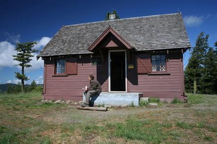
This traihead is located in Troy, OR [https://maps.google.com/maps?q=45.94749,+-117.45440&hl=en&sll=45.953041,-117.453499&sspn=0.023511,0.040083&t=h&z=14]. The trailhead is located at a wide spot in Barlett Road. Interpretive signs are available.
Directions: From Pomeroy, WA take Highway 12 east for 29 miles. Then go right (south) onto State Highway 129. Follow Highway 129 for 38 miles. Then turn right on Grande Ronde Road and follow it for 17.4 miles (enters into Oregon). Turn right on Barlett Road and follow for about 0.5 miles to the trailhead.
Places nearby:
The pursuit is happiness.
Sekr connects travelers to the campsites, community and journey they are seeking.
The pursuit is happiness.
Sekr connects travelers to the campsites, community and journey they are seeking.


