


Oak Creek Canyon
Address: Sedona, Arizona
Cost: Free
About
View of Oak Creek Canyon [http://www.fs.usda.gov/Internet/FSE_MEDIA/stelprd3854415.jpg]
View of Oak Creek Canyon from Oak Creek Vista
----------------------------------------
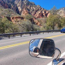
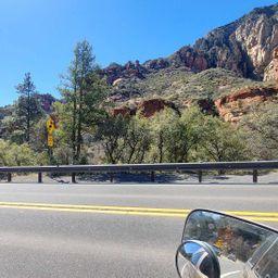
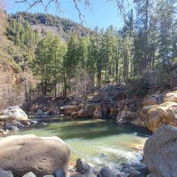
Oak Creek Canyon is a gorge carved into the edge of the Mogollon Rim of the Colorado Plateau along the Oak Creek Fault. Tectonic forces shifting the land to either side of the fault and subsequent erosion by Oak Creek have created a spectacular canyon where the geologic history of this area is an open book.
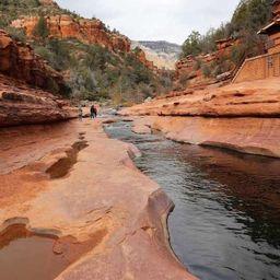
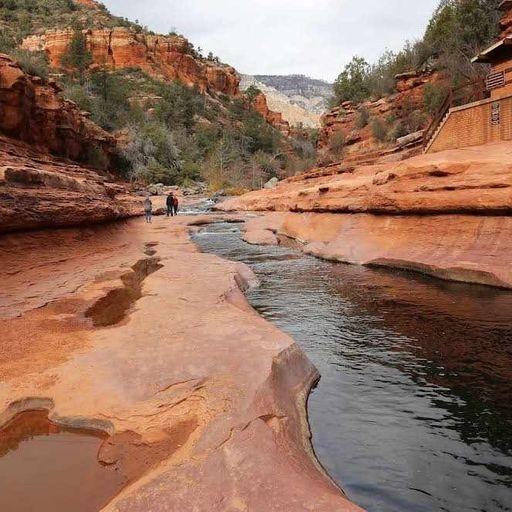
The Canyon is approximately 12 miles long. Oak Creek flows year-round along the bottom of the Canyon, providing water for plants and wildlife, as well as fishing and swimming opportunities. Oak Creek continues on through Sedona, Arizona, meeting up with the Verde River southeast of Cottonwood, Arizona.
The depth of the Canyon ranges from 800 to 2000 feet, with trails providing access from the Canyon’s bottom up to the 6500-foot eastern rim and 7200-foot western rim. Some of these trails follow historic routes early Oak Creek Canyon settlers used to access the top of the plateau in the days before the road was built. Trails on the west side of the Canyon head into Red Rock-Secret Mountain Wilderness [/recarea/coconino/recarea/?recid=74365].
THE CREATION OF OAK CREEK CANYON
Lava-capped cliffs of Oak Creek Canyon [http://www.fs.usda.gov/Internet/FSE_MEDIA/stelprd3854413.jpg] [http://www.fs.usda.gov/Internet/FSE_MEDIA/stelprd3854414.jpg]
View of the eastern, lava-capped cliffs of Oak Creek Canyon [http://www.fs.usda.gov/Internet/FSE_MEDIA/stelprd3854414.jpg].
View more on Flickr [https://www.flickr.com/photos/coconinonationalforest/albums/72157681390681084].
Approximately 65 million years ago, during a period of great mountain building, movement along Oak Creek Fault caused the east side of what is now Oak Creek Canyon to shift upwards approximately 600 feet. The exposed top rock layers eroded away until the eastern and western sides of the fault were level once again.
A few more millions of years passed, and a canyon had formed. Streams carrying gravel, then lava, flowed into the canyon from the north. In the past six million years, the fault became active again and the modern Oak Creek Canyon was carved along it. This time, the fault caused the eastern rim of the Canyon to drop around 700 feet lower than the western rim.
One of the best places to get the big picture view of the Canyon’s fascinating geologic history is Oak Creek Vista [/recarea/coconino/recarea/?recid=55366]. The Vista provides a view from the top of the Canyon, where the eastern drop is easily seen.
Learn more about the geology of Oak Creek Canyon [http://www.fs.usda.gov/detail/r3/landmanagement/resourcemanagement/?cid=stelprdb5194262] (U.S. Forest Service).
ENJOYING THE CANYON
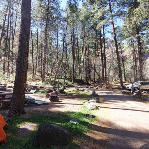
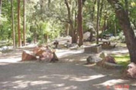
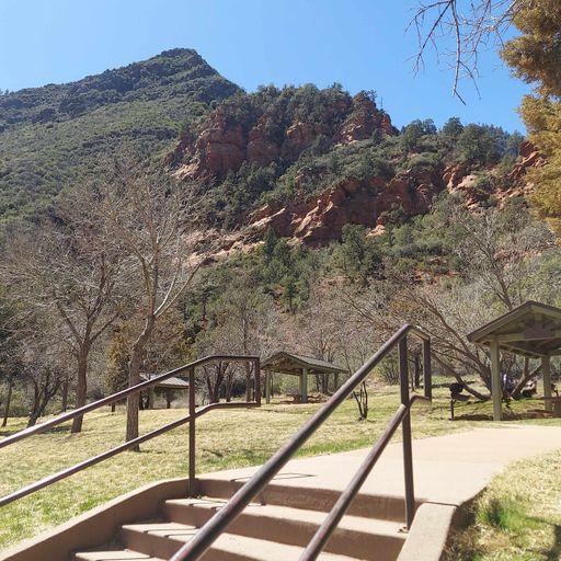
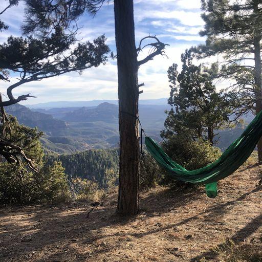
Oak Creek Canyon offers hiking, picnicking, camping, fishing, swimming, and endless vistas of colorful, soaring cliffs. The following resources will help you get the most from your visit:
* Recreation Guide (PDF 9 MB) [http://www.fs.usda.gov/Internet/FSE_DOCUMENTS/stelprd3806979.pdf]
* Recreation Maps [/detail/coconino/recreation/?cid=stelprd3851843]
* Red Rock Pass [/detail/coconino/recreation/?cid=stelprdb5416207]
* Red Rock Ranger District Recreation [/recarea/coconino/recarea/?recid=54892]
* Gateway to Red Rock Recreation [sedonaredrocktrails.org] [http://www.sedonaredrocktrails.org]
1 reviews
JonStegenga
Member since: 2020
date: Tue Mar 15 2022
The canyon is beautiful but there is not parking where this location is marked here.

Places nearby:
The pursuit is happiness.
Sekr connects travelers to the campsites, community and journey they are seeking.
The pursuit is happiness.
Sekr connects travelers to the campsites, community and journey they are seeking.


