


Cumberland District
Address: Morehead, Kentucky
Cost: Free
About
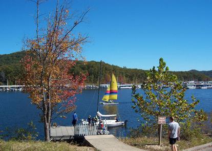
As the northernmost district of the Daniel Boone National Forest, the Cumberland Ranger District [http://www.fs.usda.gov/detail/dbnf/?cid=STELPRDB5296143] includes the scenic Cave Run Lake [http://www.fs.usda.gov/recarea/dbnf/recreation/recarea/?recid=39320] and Red River Gorge Geological Area [http://www.fs.usda.gov/recarea/dbnf/recreation/recarea/?recid=39458]. Whether looking for outdoor adventure or a quiet place to relax, this district provides visitors plenty of options.
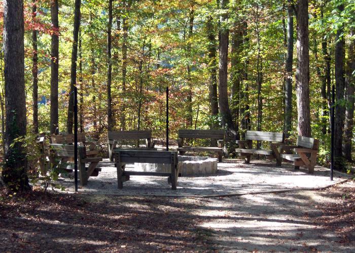
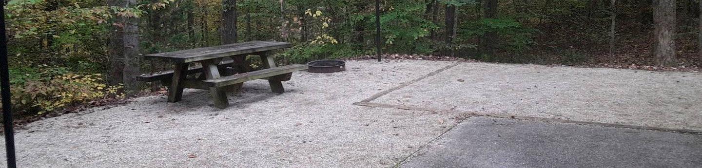
Cave Run Lake offers 8,270 acres of water surface for boating, fishing and other water sport activities. Other recreation facilities around the lake include campgrounds, swimming beaches, picnic areas, trails and historic sites.
The Red River Gorge [http://www.fs.usda.gov/recarea/dbnf/recreation/recarea/?recid=39458] is a primary recreation destination for hiking, camping, canoeing, rock climbing, hunting, fishing and sightseeing.
The Cumberland Ranger District includes nearly 183,000 acres of national forest lands spread across several eastern Kentucky counties.
Check out the Cumberland Ranger District Habitat map showing Pioneer Weapons WMA, Wildfire Activity Since 2010, Wildlife Openings, Timber Harvests Since 2010 and Constructed Wildlife Wetlands.
View map at:
https://usfs.maps.arcgis.com/apps/webappviewer/index.html?id=c58fc9969c96499a9be878aa79aba0e2 [https://usfs.maps.arcgis.com/apps/webappviewer/index.html?id=c58fc9969c96499a9be878aa79aba0e2]
Cave Run Lake area map [http://www.fs.usda.gov/Internet/FSE_DOCUMENTS/stelprdb5276780.pdf] 16x18 pdf)
Places nearby:
The pursuit is happiness.
Sekr connects travelers to the campsites, community and journey they are seeking.
The pursuit is happiness.
Sekr connects travelers to the campsites, community and journey they are seeking.


