


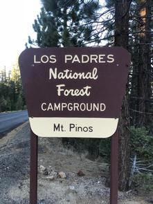
East Tumamait Trailhead - 21W03
Address: Frazier Park, California
Cost: Free
About
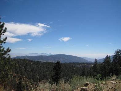
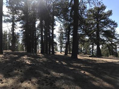
The East Tumamait Trailhead (elev. 8800 ft.) is located on the top of Mt. Pinos at the west end of Forest Service Road 9N24. Public vehicle access is prohibited over this road. Trailhead parking is located 2.0 miles away to the east at the Chula Vista paved parking lot at the end of Mt. Pinos Highway. Forest Road 9N24 begins at the southwest edge of this parking lot. There is one vault toilet at the trailhead. The Mt. Pinos Condor Observation Site is also located at the trailhead. The Mesa Springs Trail 22W21 and Northfork Trail 22W02 may be accessed via the Tumamait Trail.
Difficulty: moderate to difficult
Length: 4.58 miles
MT. PINOS BOTANICAL AREA & CHUMASH WILDERNESS - More information on the Chumash Wilderness: www.wilderness.net [http://www.wilderness.net/NWPS/wildView?wid=544]
Maps: 7.5 minute USGS topographic maps (Sawmill Mountain)
Leave No Trace Backpacking Principles: http://lnt.org/learn/7-principles [http://lnt.org/learn/7-principles]
Open Spring/Summer/Fall; Mt. Pinos Highway subject to snow closures and tire chain requirements during the winter.
Places nearby:
The pursuit is happiness.
Sekr connects travelers to the campsites, community and journey they are seeking.
The pursuit is happiness.
Sekr connects travelers to the campsites, community and journey they are seeking.


